Understanding how to report NWC (National Water Company) coordinates is essential for accurately locating and managing water infrastructure projects. Proper reporting ensures efficient resource allocation, maintenance, and problem resolution. In this article, we’ll explore the key steps involved in reporting NWC coordinates and provide insights into best practices for accuracy and reliability.
Understanding NWC Coordinates and Their Importance
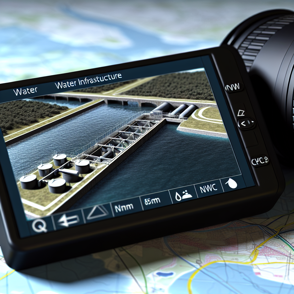
NWC coordinates refer to the geographical points that specify the precise location of water infrastructure elements such as pipelines, pumping stations, and meters within the company’s network. These coordinates are typically expressed in latitude and longitude or other coordinate systems like UTM (Universal Transverse Mercator). Accurate coordinate reporting plays a crucial role in:
- Asset Management: Ensuring all water assets are properly mapped for easy identification and maintenance.
- Emergency Response: Quickly locating issues such as leaks or blockages in the network.
- Planning and Development: Facilitating new infrastructure projects with precise location data.
Properly reported coordinates contribute to the overall efficiency and sustainability of water management services, making precision vital for operational success.
Steps to Report NWC Coordinates Correctly
Reporting NWC coordinates involves a series of systematic steps designed to ensure data accuracy and usability. These include:
- Utilize Accurate GPS Devices: Always use high-quality GPS or GNSS devices capable of providing high-precision data, especially in urban or obstructed environments where signals may be weak.
- Conduct Multiple Readings: Take several readings at each point to account for possible fluctuations and average them to improve reliability.
- Record in the Correct Format: Ensure that coordinates are documented in the appropriate format, such as decimal degrees or UTM, matching the company’s GIS standards.
- Validate Data: Cross-verify coordinates with existing maps or satellite imagery to confirm accuracy before submission.
- Document Additional Metadata: Include relevant details like asset ID, date, time, and environmental conditions to contextualize the data.
Following these steps enhances the integrity of the coordinate data, minimizes errors, and ensures seamless integration into the company’s GIS systems.
Conclusion
Accurate reporting of NWC coordinates is fundamental to effective water infrastructure management, emergency response, and future planning. By understanding the importance of precise location data and following systematic reporting procedures, stakeholders can improve operational efficiency and ensure sustainable water services. Mastering these practices ultimately benefits both the NWC and the communities they serve.